Cnoc Meadha
Cnoc Meadha is a viewpoint in the countryside 8.2 km south-west of Tuam, County Galway. Finbars Castle (in ruins) and Knockmaa are within 198 m.
Knockma, the hill of the plain west of Tuam, crowned with prehistoric cairns and known in legend as the palace of Finvarra, king of the Connacht fairies, and the burial place of Queen Maeve.
- Kind
- Viewpoints
- From Tuam
- 8.2 km south-west
The map does not yet record a phone number, a website or opening hours for Cnoc Meadha. Anyone can add them on OpenStreetMap; this page picks the change up at the next refresh.
The story of Cnoc Meadha
Knockma rises alone out of the plain of Maigh Seóla west of Tuam, above Castle Hackett, and its name, Cnoc Meadha, is taken to be Medb's hill. Four large cairns stand on top; one was said to hold Queen Maeve and another Finvarra, whose palace the whole hill was thought to be. Finvarra ruled the fairies of Connacht, and the soft warm breezes of a west Galway evening were called fairy paths, the good people on their way to Knockma, their great gathering place east of Lough Corrib: a warm gust was a good fairy passing, a sudden shiver a bad one.
The belief was still live at the end of the nineteenth century. John Glynn, the town clerk of Tuam, told the folklorist Evans-Wentz that there were many stories of Finvarra in the district but hardly any of Maeve, and that during the famine of 1846 and 1847 country people blamed the failed potato crop on war in the fairy world: one old man, Thady Steed, said he and hundreds of others had watched the good people fighting in the sky over Knockma and away towards Galway.
It is mapped today as a viewpoint, 8 km west of the Square, with the wood of Knockmaa on its slopes and the castle at its foot.
Written from Wikipedia, "Cnoc Meadha" and Wikipedia, "Castle Hackett" (CC BY-SA 4.0, read 2026-09-18). Facts only from those sources; the words are ours.
Cnoc Meadha in pictures
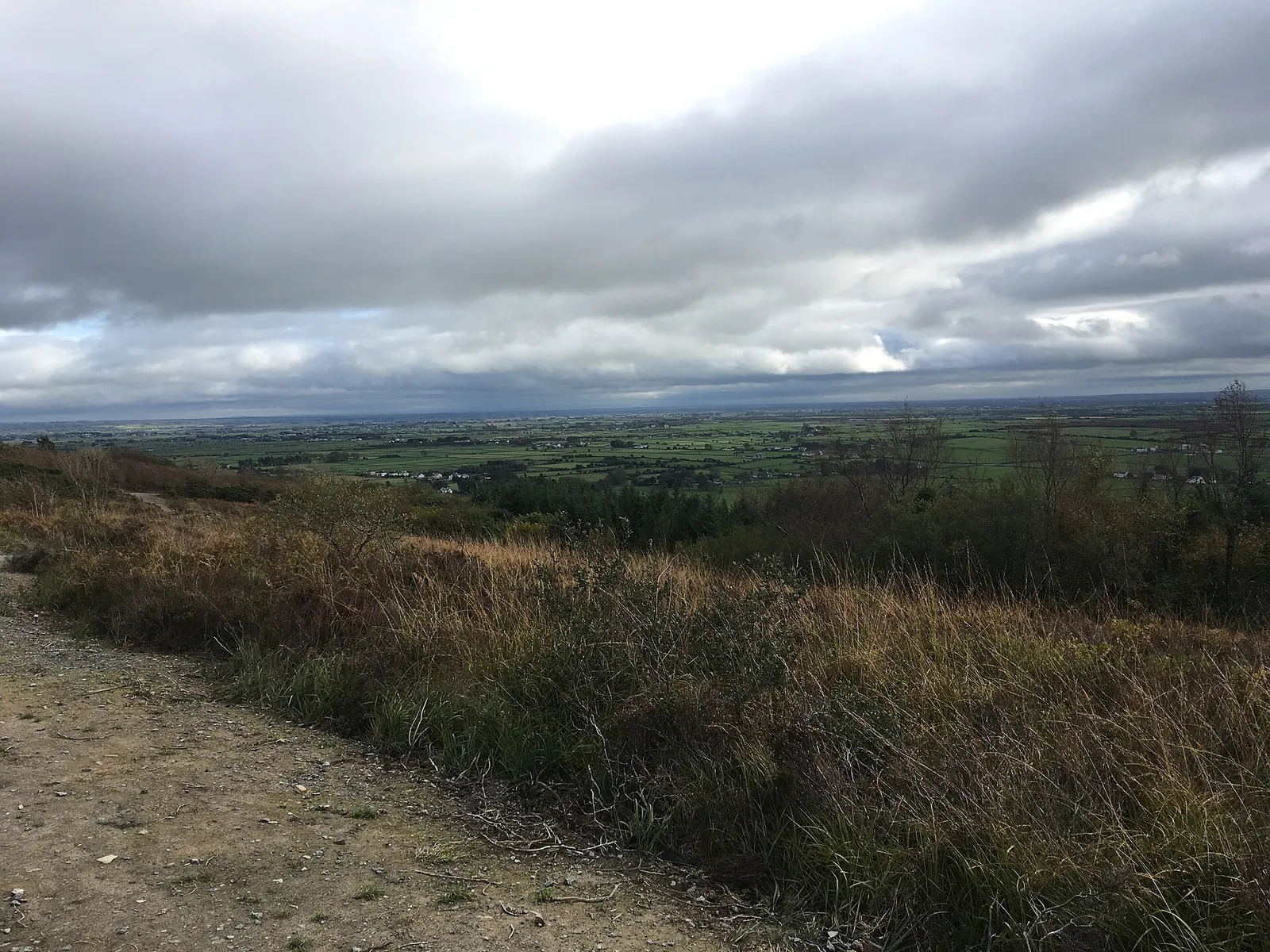
Jeoun, CC BY-SA 4.0 via Wikimedia Commons

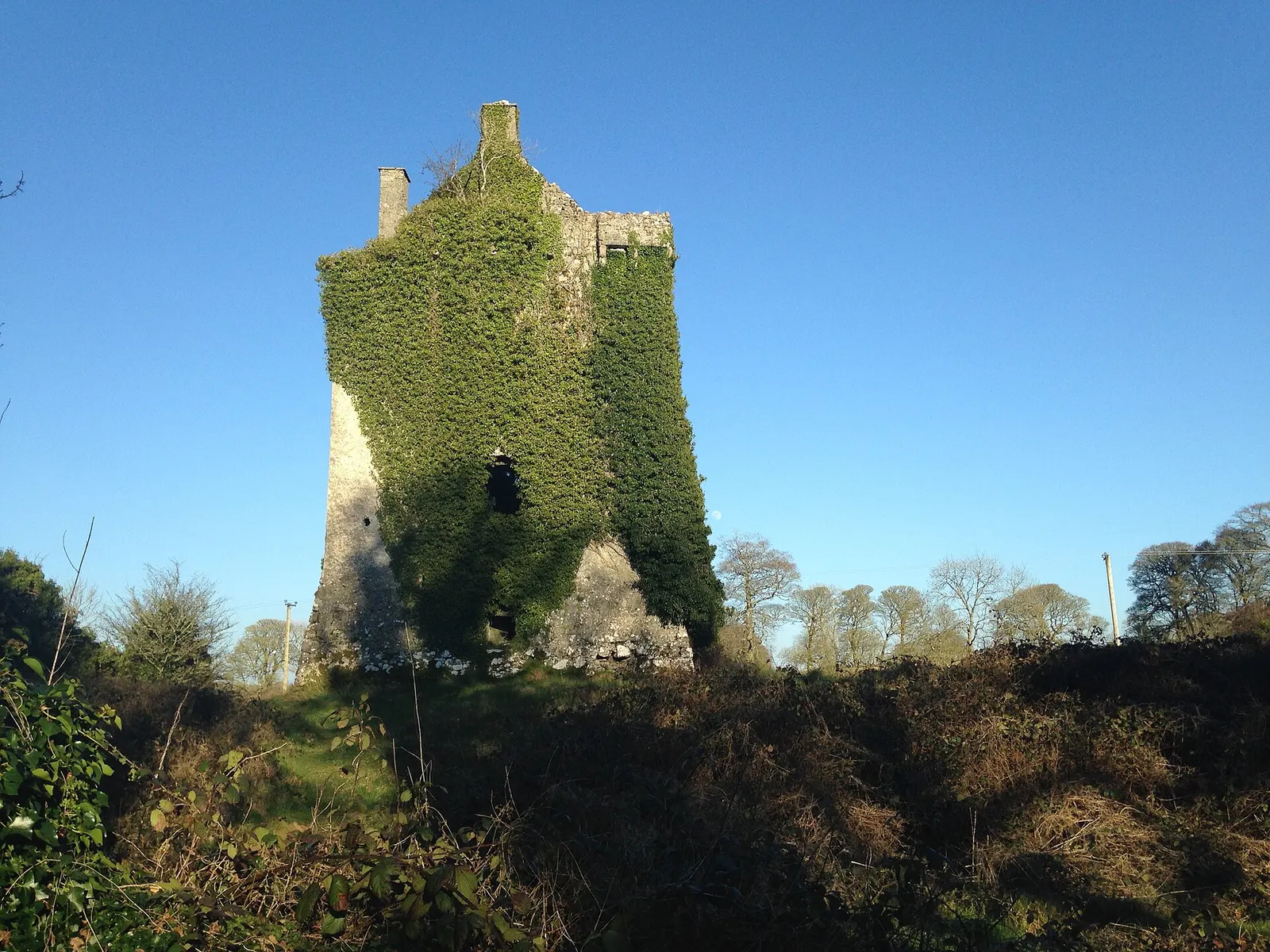
Jeoun, CC BY-SA 4.0 via Wikimedia Commons

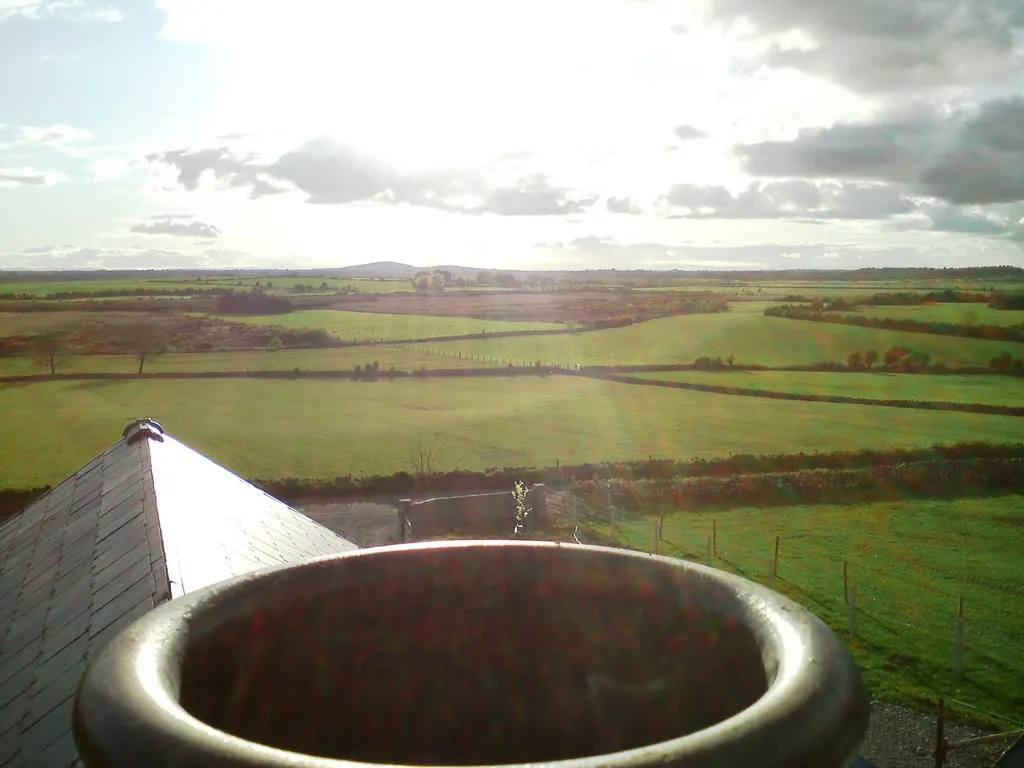
Owen Jennings, CC BY-SA 2.0 via Wikimedia Commons

Getting to Cnoc Meadha
- From the town
- 8.2 km south-west of the Square in a straight line; it is out in the country, so allow for the roads.
- Directions from where you are
- Open the model above, tap the pin and choose “Directions here”; the route is drawn from your own position.
Around it
Other sites within 3 km: Finbars Castle (in ruins) (4 m), Knockmaa (199 m), Castle Hackett (868 m), Lisheenacarna (1.8 km) and Mary Skerrett's Mount (2.3 km).
Within a short walk
- Finbars Castle (in ruins)4 mRingforts and sites
- Knockmaa198 mWoods
Questions people ask
Where is Cnoc Meadha?
What is the history of Cnoc Meadha?
Source record: OpenStreetMap node/4783074121, read on 2026-09-18. The street is the mapped address where there is one, otherwise the nearest named road. Distances are straight lines.