About Tuam
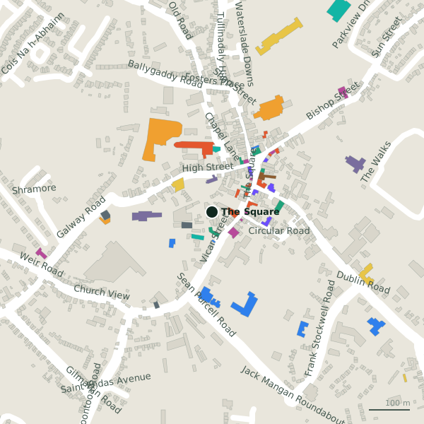
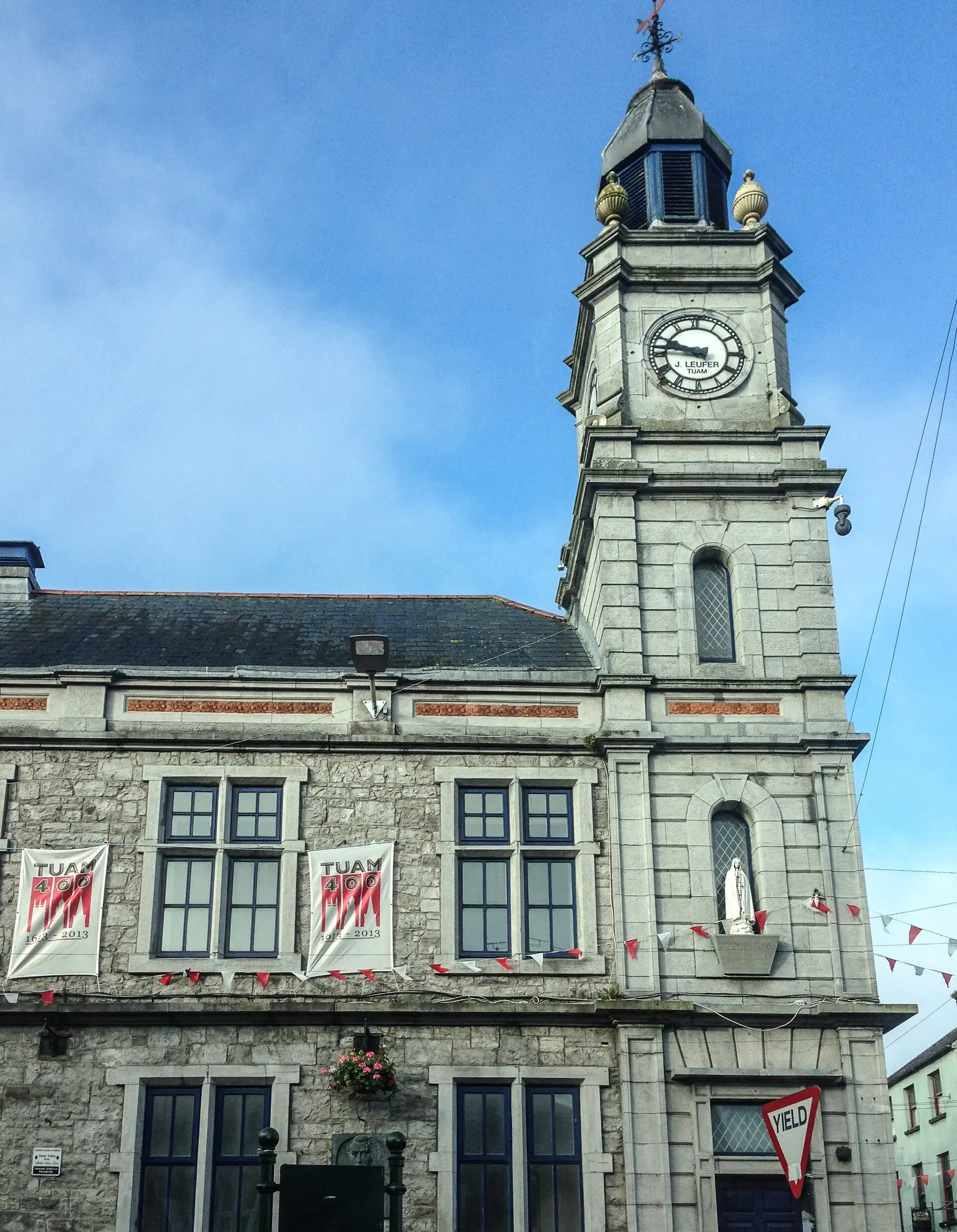
Tuam is the second-largest town in County Galway, 30 km north-east of Galway city, with 9,647 people at the 2022 census. It grew from a sixth-century monastery, was the seat of the high kings of Ireland in the twelfth century, and has kept the market-town plan it was given in 1613: every street runs into the Square. Its motto is “Long live the people of Tuam”.
- Population
- 9,647 (2022 census)
- Where
- 30 km from Galway, 173 km from Dublin
- Position
- 53.5138° N, 8.8528° W, 44 m above sea level
- Eircode
- H54 routing key · phone +353 (0)93
- Governed
- Tuam Municipal District, Galway County Council · Galway East constituency
- Twinned with
- Straubing, Germany
- Largest employer
- Valeo Vision Systems, with more than 1,000 staff
- On the model
- 6,219 buildings, 77 streets, 230 places in 70 kinds
Andreas F. Borchert, CC BY-SA 4.0 via Wikimedia Commons

Tony Webster from Minneapolis, Minnesota, United States, CC BY 2.0 via Wikimedia Commons

ClintMalpaso, CC BY-SA 3.0 via Wikimedia Commons

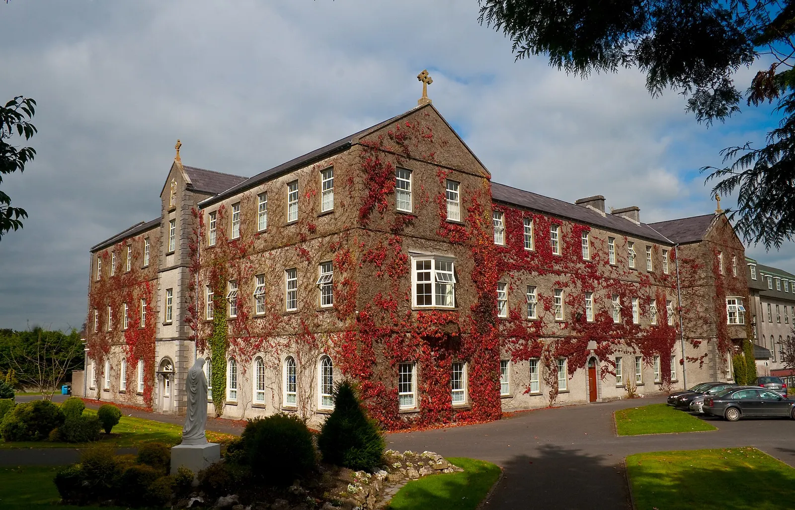
Andreas F. Borchert, CC BY-SA 4.0 via Wikimedia Commons

A short history
- Bronze AgeA burial ground by the river. People have lived here since the Bronze Age: ground beside what is now Shop Street was used as a burial place, and in 1875 workmen found a Bronze Age burial urn there.
- About 526Jarlath's monastery. Records from the early sixth century mention a monk called Jarlath at Cloonfush, 6 km west of the town.
- 1106 to 1156Seat of the High King. During Tairrdelbach Ua Conchobair's fifty-year reign Tuam was the centre of provincial power and, from 1128, the seat of the High King of Ireland, a title he took by force of arms.
- 1164The first stone castle in Ireland. Ruaidrí Ua Conchobair, the last native High King, had a "wonderful castle" built, with lofty walls and a deep moat fed by diverting the river.
- 1613A royal charter and the Square. On 30 March 1613 James I granted Tuam a charter: two members in the Irish House of Commons until 1801, and a council of a sovereign and twelve burgesses.
- 1860 to 1978The railway. Tuam station opened on 27 September 1860 on the Athenry to Sligo line.
What to see
- Temple Jarlath70 m
On High Street, near the centre: the site of the monastery Jarlath founded about 526 to 527.
- The Mill Museum
An undershot water-wheel corn mill off Shop Street, beside the River Nanny, with origins in the seventeenth century and in use until 1964.
The Roman Catholic cathedral, built 1827 to 1837, seat of the Archdiocese of Tuam.
- St Mary's Cathedral160 m
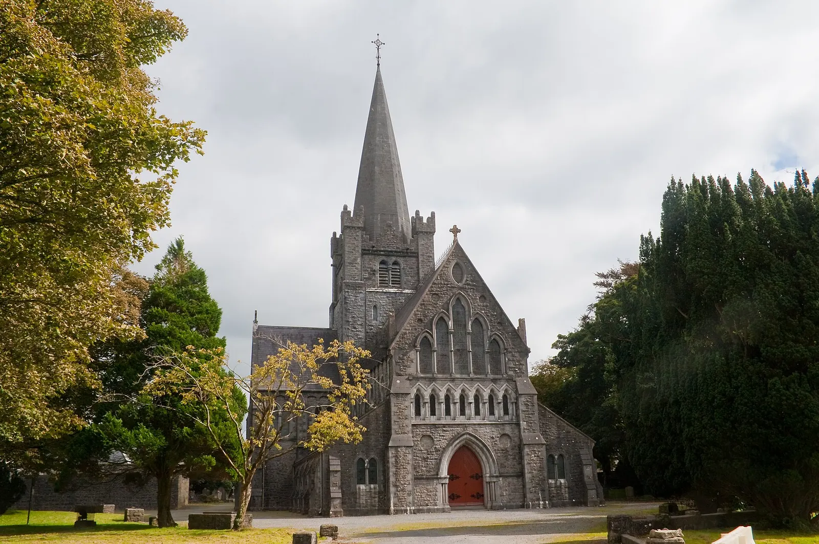
The Church of Ireland cathedral, built 1861 to 1878, incorporating a twelfth-century red sandstone chancel arch in Irish Romanesque style, a national monument, and a fourteenth-century chancel.
Erected in 1152, reputedly once the tallest in Ireland, though the top of its shaft is missing and its ringed head comes from a second cross.
- The Chair of Tuam
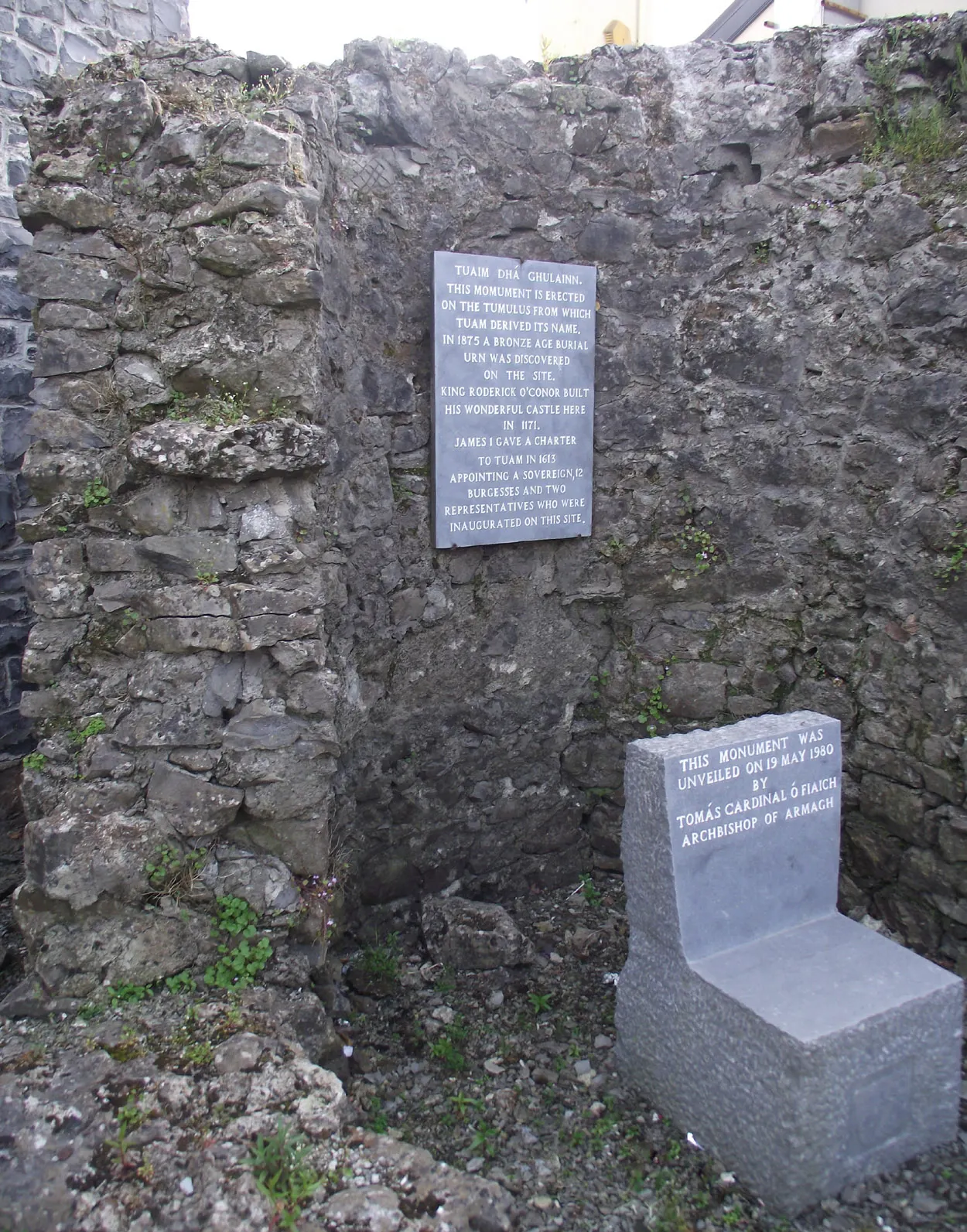
The monument unveiled in 1980 marks where the town's sovereign was sworn in under the 1613 charter, believed to be within the surviving tower of Ruaidrí Ua Conchobair's 1164 castle.
Population since 1821
Census counts for the town. The fall through the nineteenth century, a low of 2,896 in 1901, and the climb since the 1990s are all in the line.
Source: Wikipedia article 'Tuam', Historical populations template, citing CSO census figures (cso.ie/census); read 2026-09-18.
Questions people ask
Where is Tuam?
What does Tuam mean?
How big is Tuam?
Why does Tuam have two cathedrals?
What is Tuam known for?
Getting around
Tuam sits on the N17 to Collooney and the N83 from Galway, with the R332 and R347; the M17 motorway bypasses the town. The railway station on the Athenry to Sligo line closed in 1976 and the building still stands; Bus Éireann serves the town. Schools: St Jarlath's College, Archbishop McHale College and High Cross College (formed in 2023 from Presentation College and St Bridget's), with five main primary schools including Gaelscoil Iarfhlatha, an Irish-language school.
History, sights, civic facts and the schools summarise Wikipedia, "Tuam" (CC BY-SA 4.0, read 2026-09-18). Population is the CSO census as listed there. Distances and everything on the model are OpenStreetMap.